United Kingdom (UK) Geography: Regions, Counties, and Cities
Geography
Have you ever tried to research the geography of the UK and never quite managed to get your head around the seemingly endless number of disparate subdivisions? Well it's not just you, it's actually just quite complicated which we owe to the lack of a British constitution, variation between constituent countries, and the convoluted history of the UK.
This may mean that UK geography is not as structured as the US, for example. Despite this, Brits communicate location effectively using terms such as "The South West", "Gloucestershire", and "Gloucester". This deck aims to provide a formal and comprehensive set of cards that align with these intuitive terms that you may already have and which are likely to be understood intuitively by others. This allows existing knowledge to be leveraged and contextualised, allowing memory links to be created both bottom-up, top-down, and based on geographical proximity.
The deck will help you to learn:
- 12 top level regions (e.g. Scotland, East of England...)
- 32 Scottish Council Areas and 64 Ceremonial Counties for England, Wales, and Northern Ireland
- 69 Official Cities
- 16 assorted seas, channels, estuaries, straits and oceans
- The deck is light-weight (~3MB, despite containing hundreds of unique images)
- Text answers may optionally be provided to improve retention
- A map with relevant areas highlighted is provided for every location
- All images are Scalable Vector Graphics and therefore scale gracefully to any screen size without distortion
- CSS and JS are used to generate and animate images
Sample Data
| Location | City of London |
| MacroLocation | City of London |
| City | City of London |
| County | |
| Region | |
| BoW | |
| Tags | City England |
| Location | West Midlands (county) |
| MacroLocation | West Midlands |
| City | |
| County | West Midlands (county) |
| Region | |
| BoW | |
| Tags | County England |
| Location | Bristol |
| MacroLocation | South West |
| City | |
| County | Bristol |
| Region | |
| BoW | |
| Tags | County England |
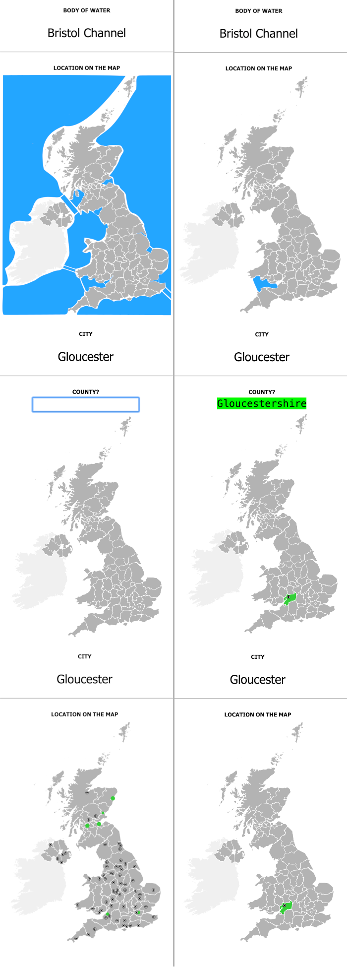
Card Previews
1 / 5